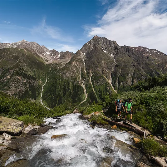


Cottbuser Höhenweg (high-level trail)
Hiking tour
Hard
13,80 km
08:00 h
1000 m
1682 m
2808 m
Description
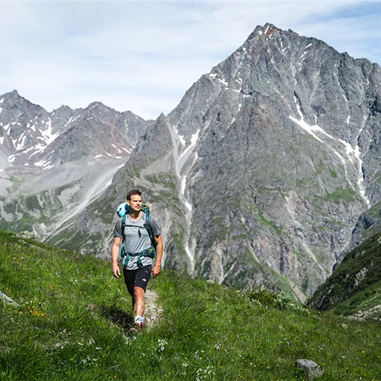
Turn right on the clearly waymarked track, following the bends in the direction of the Brandkogel peak. Climb further on this steep track, secured by steel ropes, through gullies and rocky slopes, cross over a cirque, the Alzeleskar and walk around the Steinkogel...
Features & Characteristics
Best Season
Jan
Feb
Mar
Apr
May
Jun
Jul
Aug
Sep
Oct
Nov
Dec
Starting Point:
Mandarfen or rather Rifflsee gondola bottom station
End Point:
Plangeroß or rather Mandarfen