to shopping cart
to cart for brochures

Trail Running

Trail running at the roof of Tyrol

19 signposted trail running routes with a total of 264 km

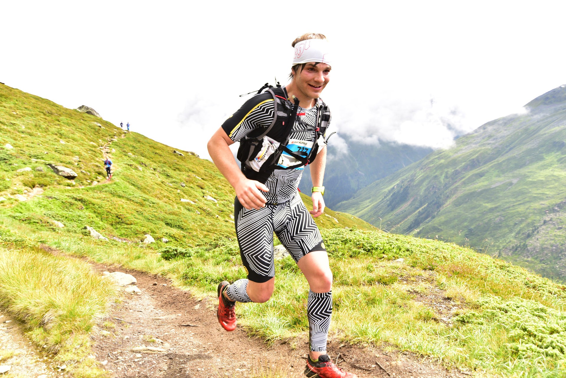
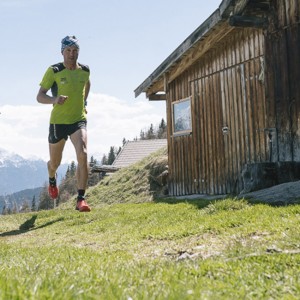
Pitztal is THE number 1 trail running destination in Austria (Trail running award 2016) and scores highly with specially signposted trails, maps, a trail in sections and a dedicated trail running shop.

Trail runners will experience fascinating and diverse trail running routes past mountain lakes, brooks and waterfalls. Run over summits and along ridges and take in breath-taking panoramic views. Take on the trail running challenge in the Tyrolean Alps: beginners, advanced and professional runners will find perfectly suited, flowing trails away from forest roads! Start straight down in the valley or use one of our mountain railways on the way up to your high-alpine altitude training. Train among the exposed landscape and experience unforgettable trail running moments!

Sitebuilder 
Trail running in majestic Pitztal mountain scenery
Crossing a glacier whilst trail running in Pitztal
Runners of the Pitz Alpine Glacier Trail

11. Pitz Alpine Glacier Trail – the event of 2023

Experience THE trail running event of Austria from 4 to 6 August 2023. The individual course sections will take trail runners up to four times to the start – finish straight depending on the distance that they are running. This gives supporters the opportunity to cheer on their runners again and again at certain intervals. A dedicated program for children will provide entertainment and shorten the wait to the finish of the event. All trail running distances and registration information can be found on the Pitz Alpine Glacier Trail website

Trail running sections concept

Based on the existing hiking routes, a special route was put together for the trail runners. At several starting points these trails are summarized on large signboards and are also available as small printed maps. The GPS coordinates and further route information can be found on our interactive map

Trail runner at the Mittagskogelscharte in Pitztal Tyrol
Trail runner Mittagskogelscharte Pitztal Tyrol

Trail running taster sessions

As part of our summer program we are making “Getting started with trail running” easy. Find out more about trail running technique and test the latest trail running shoes on the market with the guidance of a trail running guide.

Trail Running ParKUHR

You will find the new Trail Running ParKUHR with 8 stations in Mandarfen, next to the mountain lift Rifflsee.

Trail running shop

During the summer months trail runners can find all necessary equipment at our trail shop in Mandarfen. At Hotel Vier Jahreszeiten you can find trail running shoes, shirts and backpacks as well as diverse trail running accessories.
Opening times

Pitztal stage trail

You are probably aware of the E5 – THE long-distance hiking trail. Trail runners can now explore the trail in stages. Discover Pitztal at a quick pace in several stages – including a summit experience should you so wish .

Pitztal trail running hotels

Several accommodation providers in Pitztal are now catering to the special requirements of trail runners. A select group of accommodation providers now offer a laundry service and athlete’s breakfast and also provide you with all required trail running information.

Trail running symposium

Pitztal has been devoted to trail running since 2012. We think that it is important to build & share knowledge of this trending sport and are organising an annual symposium for interested trail runners to learn more about psyche, injuries and training methods (in German).

Places

Categories

Difficulty

Distance

Distance ranges from 0km to 90km

Duration

Duration ranges from 0h to 8h

Altitude

Altitude ranges from 0m to 5,400m

P30 - Taschachferner Trail

Ausgangspunkt
Mandarfen (1675m)
Endpunkt
Mandarfen (1675m)

P45 Rifflsee Trail

Ausgangspunkt
Mandarfen (1673m)
Endpunkt
Mandarfen (1675m)

Glacier Trail Braunschweiger mountain hut

Ausgangspunkt
Top station Gletscherexpress (2840m)
Endpunkt
Mittelberg (1721m)
From the top station of the Glacier Express, follow the signposts downhill towards the glacier in the direction of the catered mountain hut Braunschweigerhütte. Follow the markings across the glacier. Caution: depending on the conditions, crampons may be advisable! After crossing the glacier, ascend to the Braunschweigerhütte. Once there, initially follow the Jägersteig [hunter’s trail] down into the valley until you reach the “Notweg” [emergency path] then passing the catered mountain hut Gletscherstube back down to the bottom station of the Glacier Express in Mittelberg.  

Hochaster Alm circuit

Ausgangspunkt
Plattenrain (1476m)
Endpunkt
Plattenrain (1477m)
This “beginner’s circuit” starts off at the Plattenrain car park following a forest road just behind the catered mountain hut Puitalm at Plattenrain in the direction of the non-catered mountain hut Timler Alm. Once there, there is a slight downhill section in the direction of Imsterberg and at the fork follow the slightly steeper ascent up to a point just below the catered mountain hut Venet Alm. Then continue to run on the signposted path in the direction of the catered mountain hut Hochaster Alm and return to your starting point.  Duration: 1 h 30 min - 2 h

Rifflsee circuit

Ausgangspunkt
Mandarfen (1679m)
Endpunkt
Mandarfen (1674m)
Starting in Mandarfen, firstly cross the bridge towards the mountain rescue building and then turn left along the agriculture road up towards the catered mountain hut Taschachalm. Once there, continue to run in the direction of Rifflsee Lake until a path forks off to your left. Follow this path to Rifflsee Lake and keep right, then follow the signpost to the mountain restaurant Sunna Alm / top station Rifflsee gondola on the left. From Sunna Alm return down to Rifflsee Lake and follow the lakeside path around the lake, then return to the valley on the path past the Taschachalm. Once there, follow the same route as on your way up to return to your starting point in Mandarfen.

13 K Trail

Ausgangspunkt
Mandarfen (1674m)
Endpunkt
Mandarfen (1675m)
Starting in Mandarfen, cross the bridge to the mountain rescue building and then turn right and follow the signpost to “Hirschtal über Panoramaweg”[Hirschtal valley via panoramic trail]. A steep path leads up the Hirschtal valley until you reach the fork Panoramaweg / Rifflseehütte. Turn left and follow the panoramic trail to the catered mountain hut Rifflseehütte. Once there continue to run via the Muttekopf, then a short while uphill on the ski slope until you reach the catered mountain restaurant Sunna Alm / top station of the Rifflsee gondola. Continue downhill to Rifflsee Lake and run around it, then keep right and run down towards the catered mountain hut Taschachalm. Once there, return to your starting point in Mandarfen following the easy agricultural road down the hill.

Plodersee circuit

Ausgangspunkt
Mandarfen (1673m)
Endpunkt
Mandarfen (1675m)
Starting in Mandarfen, cross the bridge to the mountain rescue building and then turn right and follow the signposts to “Hirschtal / Rifflsee Lake”. The steep path leads through the Hirschtal valley up to Rifflsee Lake. The path continues just below the mountain restaurant Sunna Alm / top station Rifflsee gondola to the lake. Continue to run along the lakeshore to the Wurmtal valley and follow the signposts to Plodersee Lake. Past rushing mountain brooks and waterfalls follow the path until you reach the fork and then turn left to Plodersee Lake. Once there, do not descend via the steep ski slope but continue to run straight ahead following the markings, then follow the path down into the valley. Take care along a steep path (slip hazard) downhill and cross the Grubenkopf chairlift (only operational in winter) until you reach a fork, then follow signposts to the catered mountain hut Taschachalm down into the valley. Once there, it is an easy road back down to your starting point in Mandarfen. 

P15 - Zirbensteig Trail

Ausgangspunkt
Mandarfen (1675m)
Endpunkt
Mandarfen (1675m)

Muttler Skyrun

Ausgangspunkt
Mandarfen (1674m)
Endpunkt
Mandarfen (1675m)
Starting in Mandarfen, cross the bridge to the mountain rescue building and then turn left and follow the agricultural road up to the catered mountain hut Taschachalm. Then turn left and follow the signpost to Mittelberg. High above the Taschach gorge, a narrow path leads through a forest. Still in the forest, above the “Gasthof Steinbock” restaurant follow the signpost in the direction of Mittagskogel. This steep trail leads through a forest at first but once you’ve reached the tree line you will be rewarded with fantastic panoramic views. Continue to run across mountain meadows and follow the well-marked trail across a boulder section. On your left you can already make out the ridge of the Muttler mountain ahead. Turn left at approximately 2,530 metres (note the small stone sculpture of a man) and follow the last 100 metres in elevation gain on a badly marked trail until you reach the ridge of the Muttler summit. Return on the same trail until you reach the signpost in the forest above Mittelberg. Then run in the direction of Gasthof Steinbock restaurant and past the bus turning area. Follow the panoramic trail at the head of the valley back to Mandarfen. Caution: the ascent up to the Muttler summit is very steep and the last 100 metres in altitude are poorly marked. However, once at the top, you’ll be rewarded with a fantastic view of the upper Pitztal valley! 

Taschachhaus circuit

Ausgangspunkt
Mandarfen (1679m)
Endpunkt
Mandarfen (1673m)
Starting in Mandarfen, initially cross the bridge to the mountain rescue building and then turn left and follow the agricultural road up to the Taschachalm. Once there continue to run on the right hand side on the path leading up to Rifflsee Lake until a path forks off on the left. Instead of continuing up to Rifflseee, turn left and run via the Fuldaer high-level trail to the catered mountain hut Taschachhaus. Once there, it is a steep descent down across the glacier moraine passing the bottom station of the goods cable lift and on to the agricultural road at the bottom of the Taschach valley back to the Taschachalm. Return via the same route to the starting point in Mandarfen. Caution: This is a very long trail of over 20 kilometres! It can be shortened by descending at the Fuldaer high-level trail back down to the Taschach valley, but please note that the path leading downhill can be easily overlooked. 
Information

Webcams

Information

Weather

Information

0 - 325cm

Information

7 open lifts

Information

13 open slopes

Öffungszeiten

Now open

Angebot suchen

Search for offers