Alpine pasture hike Stalderhütte/Hochzeiger Haus
Winter walking
Closed
8,40 km
02:40 h
450 m
450 m
1837 m
Important Information
Spikes recommended – hire available from information offices
Description
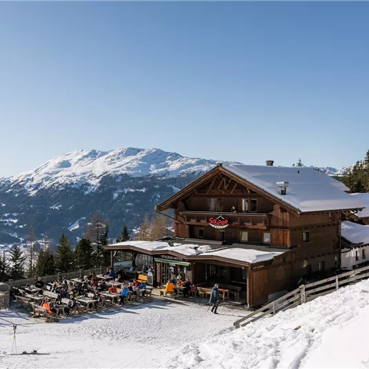
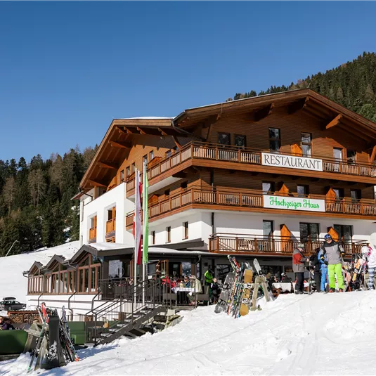
Start this hike from the bus stop Jerzens/Kaitanger. Follow the signposts through the forest until you pass the Stadlerhütte or reach the Hochzeigerhaus which is another 5 minutes' walk. After taking some refreshments continue to your starting point via the...
Features & Characteristics
Skill Level
Endurance
Best Season
Jan
Feb
Mar
Apr
May
Jun
Jul
Aug
Sep
Oct
Nov
Dec
Starting Point:
Kaitanger
End Point:
Kaitanger
Map & Elevation Profile
Arrival
Follow the L16 Pitztalstraße and the signs to Jerzens. Turn off towards Hochzeiger. Then follow the road to the district of Kaitanger.


