Circular route Wald – Hohenegg – Wald
Hiking tour
Medium
4,30 km
02:00 h
190 m
190 m
977 m
Description
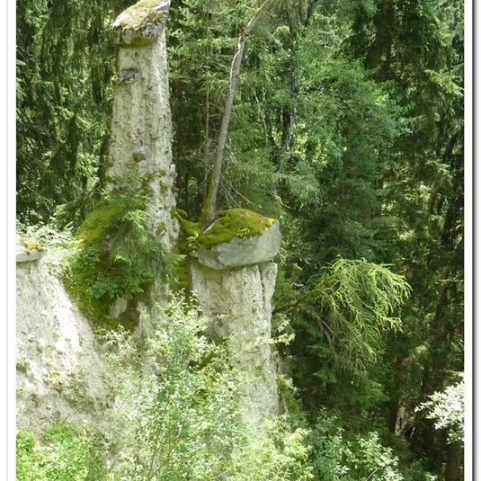
ATTENTION: The path to the Walder waterfall is currently closed. (Status as of 10.04.2024)
Starting point: Church in the hamlet of Wald. Follow the path to the left of the church. When you reach the first bend, a steep path forks off...
Starting point: Church in the hamlet of Wald. Follow the path to the left of the church. When you reach the first bend, a steep path forks off...
Features & Characteristics
Best Season
Jan
Feb
Mar
Apr
May
Jun
Jul
Aug
Sep
Oct
Nov
Dec
Starting Point:
car park Volksschule Wald
End Point:
car park Volksschule Wald
Circular tour
Map & Elevation Profile
Arrival
Take the bus till the bus stop Wald Feuerwehr. For the arrival with the car use the car park Volksschule Wald.


