We use cookies for your personalized browsing experience, to personalize content and ads, to provide social media features, and to analyze traffic to our website. We also share information about your use of our website with our social media, advertising and analytics partners. Our partners may combine this information with other data that you have provided to them or that they have collected as part of your use of the Services. (incl. US providers)
Gondelbahn_so.jpg
Gondelbahn_so.jpg

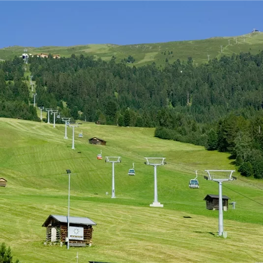
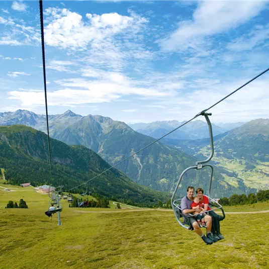
Double chairlift top station - Wennerberg - Hochzeiger Gondola bottom station

Hiking tour

Medium

13,50 km

05:00 h

380 hm

1280 hm

2369 m

Description

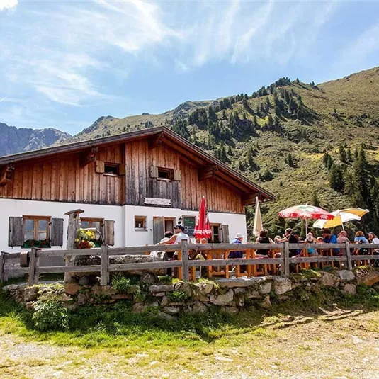
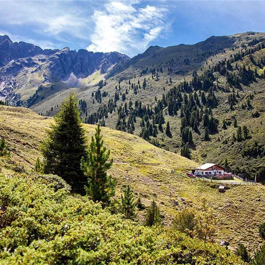
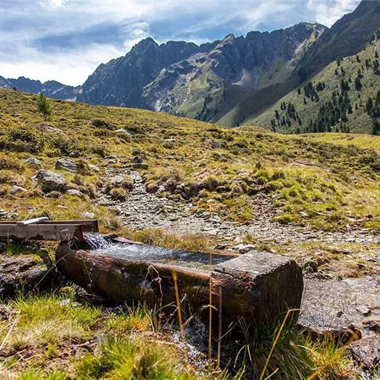
Starting point: double chairlift top station. From there turn right, southward for approx. 200 m along the ridge. Then turn left to descend to the valley behind the Wennerberg and continue to walk down the valley passing both catered mountain...

Read more ...

Features & Characteristics

Best Season

Jan

Feb

Mar

Apr

May

Jun

Jul

Aug

Sep

Oct

Nov

Dec

Starting Point:

Double chairlift top station

End Point:

Hochzeiger Gondola bottom station

Circular tour

Map & Elevation Profile

Arrival

Take the bus till the bus stop Jerzens Hochzeiger. Afterwards use the lift (Sektion I+II) up to the starting point.

Similar Tours

Leins

Easy

Leins circular route

Easy

Hiking tour

6,00 km

02:00 h

360 hm

1389 m

Benni Raich Brücke

Medium

IVV circular route Arzl

Medium

Hiking tour

7,00 km

02:30 h

370 hm

886 m

Ortsbild-Wald-2024

Easy

Bichl circular route

Easy

Hiking tour

4,40 km

01:00 h

140 hm

1006 m

Infos
Accommodation