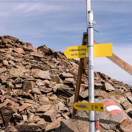
Gletschersteig (Glacier trail)
Bike & Hike
Hiking tour
Hard
14,00 km
05:00 h
60 m
1800 m
3440 m
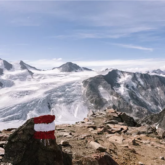
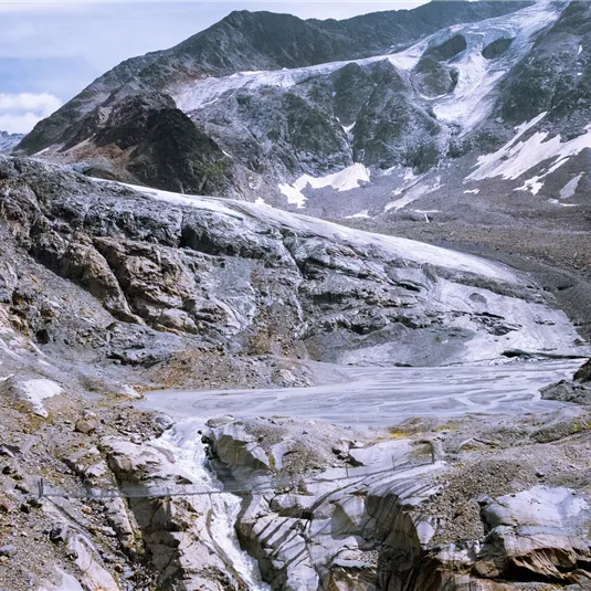
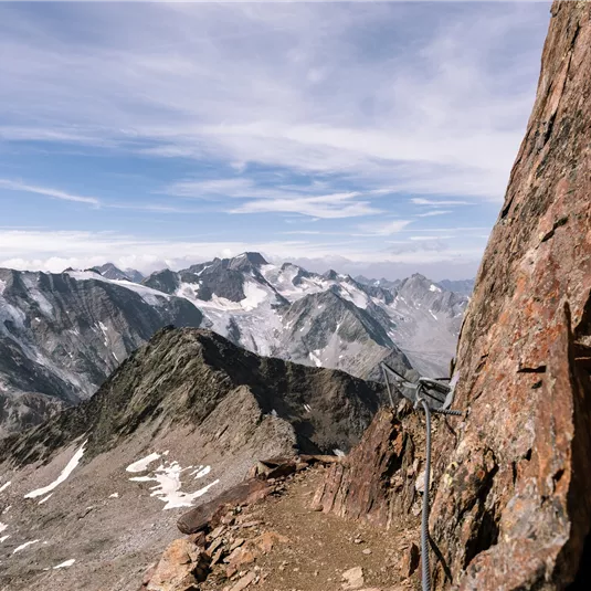
Description
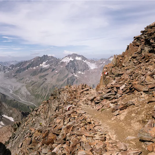
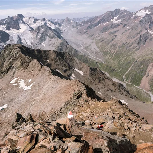
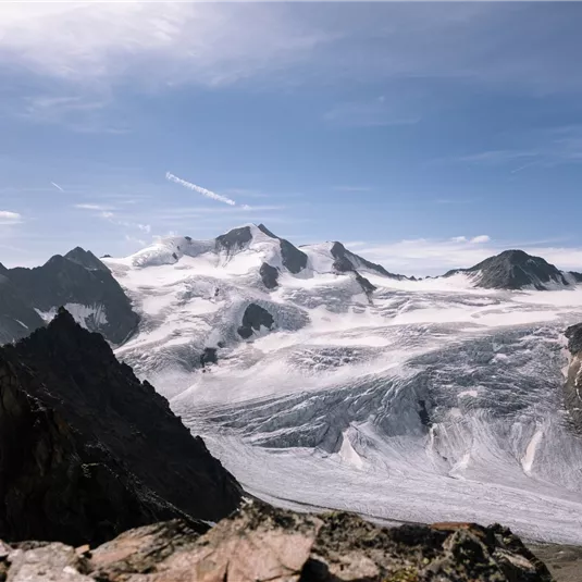
The starting point for this panoramic hike is the parking lot of the Pitztal Glacier Lift. After taking the Glacier Express, the Wildspitzbahn takes you up to 3,440 m above sea level. From the highest café in Tyrol, you can...
Features & Characteristics
Best Season
Jan
Feb
Mar
Apr
May
Jun
Jul
Aug
Sep
Oct
Nov
Dec
Starting Point:
Parking lot Pitztal Glacier
End Point:
By bike Mandarfen/Parking lot Pitztal Glacier
Map & Elevation Profile
Arrival
Coming from Imst, follow the L16 Pitztaler Landesstraße to Mittelberg and the Pitztal Glacier. Then take the Gletscherexpress and the Wildspitzbahn to Café 3440.


