ortsbild-jerzens-3_1026965373.jpg

Kaitanger – Falsterwies – Jerzens Dorf

Winter walking

Open

3,00 km (Open 3,00 km)

00:50 h

30 m

340 m

1458 m

Important Information

Spikes recommended – hire available from information offices

Description

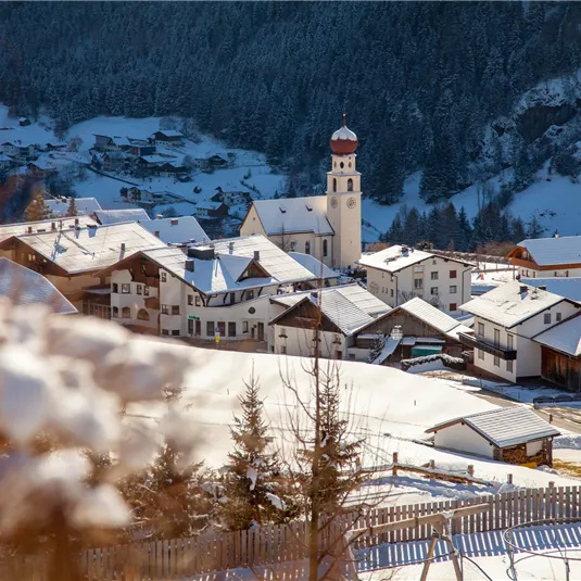
This winter hike leads from the hamlet of Kaitanger along the Wassertalweg, which is groomed with a cross-country skiing machine, and then branches off onto a trail to the hamlet of Falsterwies. Then you follow the asphalted road to the...

Features & Characteristics

Best Season

Jan

Feb

Mar

Apr

May

Jun

Jul

Aug

Sep

Oct

Nov

Dec

Starting Point:

Kaitanger

End Point:

Jerzens Dorf

Map & Elevation Profile

Arrival

When arriving by car, follow the road signs Jerzens Hochzeiger Bergbahnen. 

Refreshments & infrastructure

Logo
Jerzens Parking space Kaitanger

car park/parking garage/parking lot

Jerzens

A poster for the Hochzeiger Open-Air event taking place on December 9, 2017. In the background, there is a parking lot entrance and a quiet road visible.
Jerzens Parking space Kirche

car park/parking garage/parking lot

Jerzens

Logo
Jerzens Parking space Liss/Hochzeiger Bergbahnen

car park/parking garage/parking lot

Jerzens

Similar Tours

Ortaansicht Arzl im Pitztal
Around the Breite

Winter walking

1,20 km

00:20 h

30 m

869 m

ortsbild-jerzens-2_156891739.jpg
Large hike through Jerzens village

Open

Winter walking

4,10 km

01:00 h

150 m

1141 m

Winter
Wassertal trail

Open

Winter walking

4,70 km

01:00 h

230 m

1477 m