ortsbild-jerzens-3_1034464887.jpg

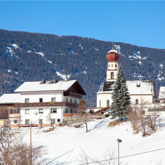
Large hike through Jerzens village

Winter walking

Medium

Open

4,10 km (Open 4,10 km)

01:00 h

150 m

150 m

1141 m

Description

The starting point is opposite the fire station, to the right of the river Mühlbach. At the beginning of the trail there is a slight ascent, most of the part there are low slopes. At the first fork follow the...

Features & Characteristics

Best Season

Jan

Feb

Mar

Apr

May

Jun

Jul

Aug

Sep

Oct

Nov

Dec

Starting Point:

Haltestelle Jerzens Feuerwehr

End Point:

Haltestelle Jerzens Feuerwehr

Circular tour

Map & Elevation Profile

Arrival

If you arrive by car, follow the road signs to Jerzens. 

Refreshments & infrastructure

A poster for the Hochzeiger Open-Air event taking place on December 9, 2017. In the background, there is a parking lot entrance and a quiet road visible.
Jerzens Parking space Kirche

car park/parking garage/parking lot

Jerzens

A traditional building with a balcony and floral decoration. It houses a tourist office and a Raiffeisen bank.
Jerzens Parking space at the backside of the town hall

car park/parking garage/parking lot

Jerzens

Similar Tours

Ortaansicht Arzl im Pitztal

Easy

Around the Breite

Easy

Winter walking

1,20 km

00:20 h

30 m

869 m

Piller Sattel

Easy

Circular route Matzlewald - Klausboden

Open

Easy

Winter walking

5,50 km

02:00 h

200 m

1283 m

Wenns

Easy

Pitzenhöfe circular route

Open

Easy

Winter walking

4,00 km

01:30 h

140 m

1004 m