Large Venet circuit
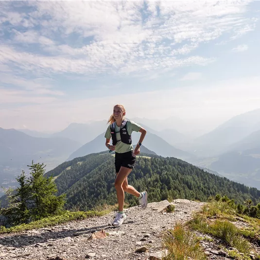
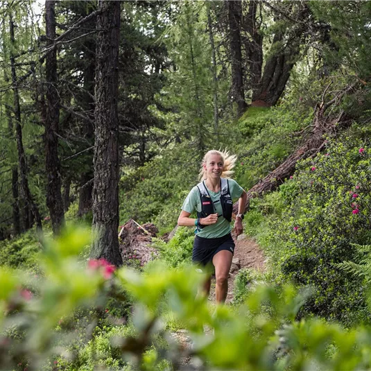
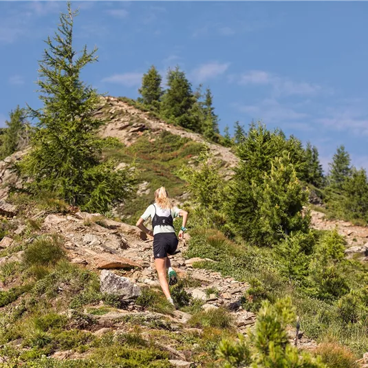
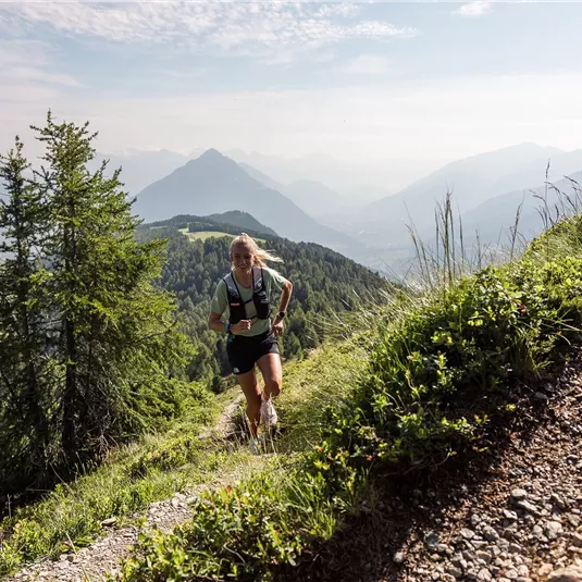
Trailrunning
Hard
25,10 km
05:00 h
1440 m
1440 m
2497 m
Description
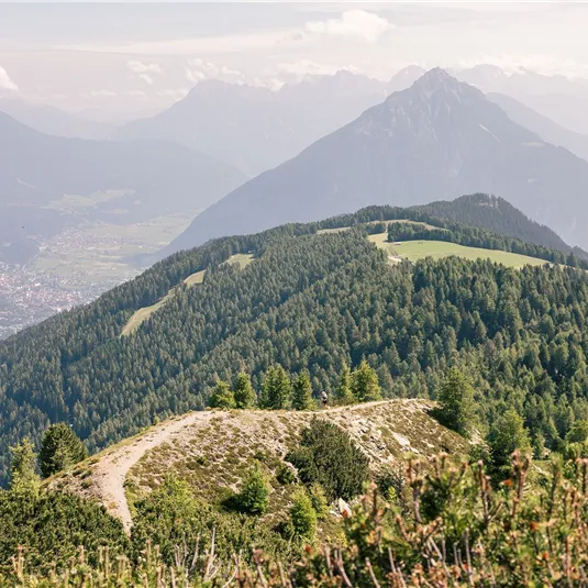
This “Queen’s stage” is the same route to the Kreuzjochspitze as described in the “Kreuzjoch circuit” but then follows along the Venet ridge via the Wannejöchl, the Glanderspitze and almost to the top station of the Venet mountain railway. Once...
Features & Characteristics
Best Season
Jan
Feb
Mar
Apr
May
Jun
Jul
Aug
Sep
Oct
Nov
Dec
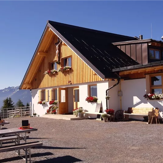
Starting Point:
Plattenrain
End Point:
Plattenrain

Map & Elevation Profile
Arrival
From Imst, drive into the Pitztal valley until you reach the village of Arzl. After leaving the centre of Arzl, turn right in the direction of Timls/Plattenrain.


