Mainzer Höhenweg (high-level trail)
Hiking tour
Summit hike
Hard
17,80 km
10:00 h
2140 m
2040 m
3231 m
Description
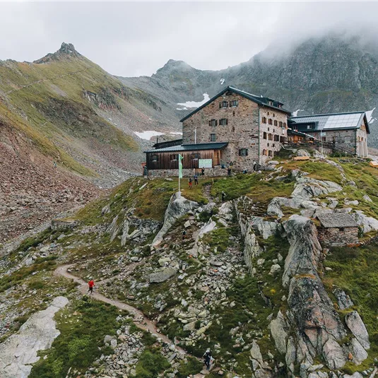
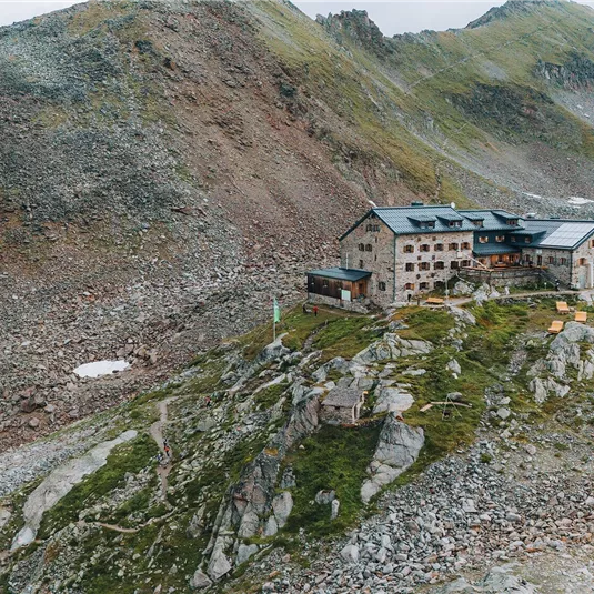
From the starting point you walk on the well-prepared track to the catered mountain hut Rüsselsheimer Hütte. After the hut, turn right towards the Weissmaurachsee lake. The track is moderately steep at first, then becomes a steeper climb as you follow...
Features & Characteristics
Best Season
Jan
Feb
Mar
Apr
May
Jun
Jul
Aug
Sep
Oct
Nov
Dec
Starting Point:
car park between Plangeroß andWeißwald
End Point:
bus stop Mittelberg
Map & Elevation Profile
Arrival
Take the bus till the bus stop St Leonhard Plangeroß.


