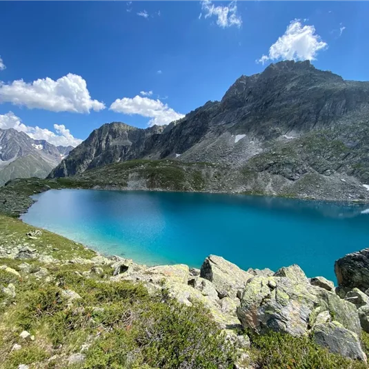
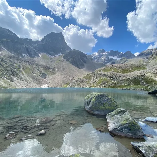
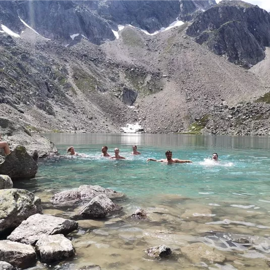
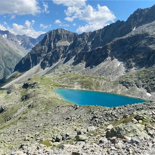
Trail to the Mittelberglesee lake (2,450 m)
Hikes to lakes
Medium
8,70 km
04:30 h
1040 m
1040 m
2450 m
Description
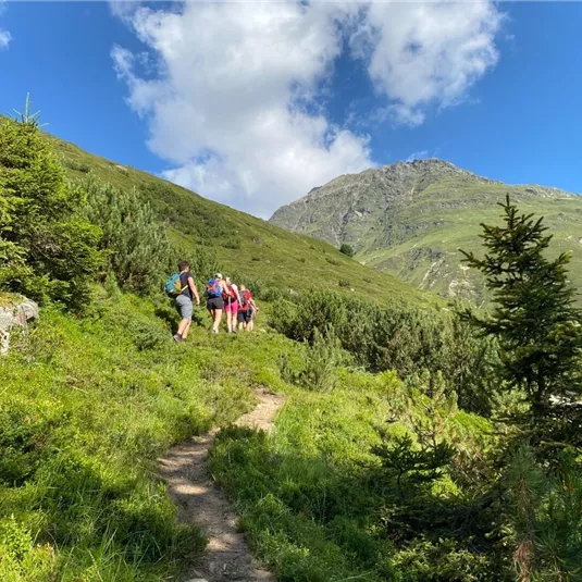
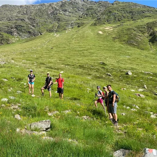
Cross the Pitze river at Trenkwald then turn right in the direction of the waterfall. Next, turn left and continue to walk uphill on a very steep forest track to the abandoned Neururer Alm. This track continues to a ridge, the
Verpeiljoch. The...
Verpeiljoch. The...
Features & Characteristics
Best Season
Jan
Feb
Mar
Apr
May
Jun
Jul
Aug
Sep
Oct
Nov
Dec
Starting Point:
district of Trenkwald
End Point:
district of Trenkwald
Map & Elevation Profile
Arrival
Take the bus till the bus stop St. Leonhard Trenkwald.


