Talwanderweg (1).jpg

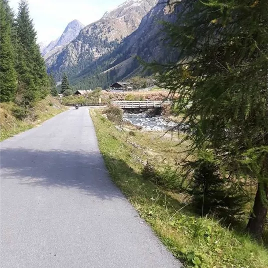
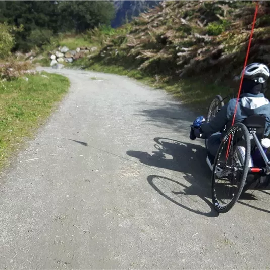
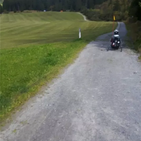
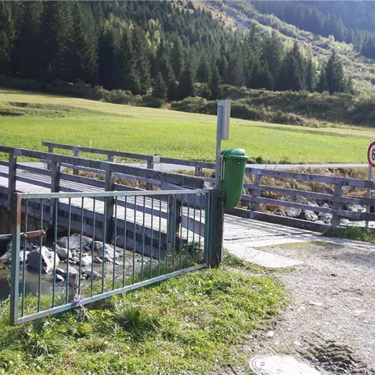
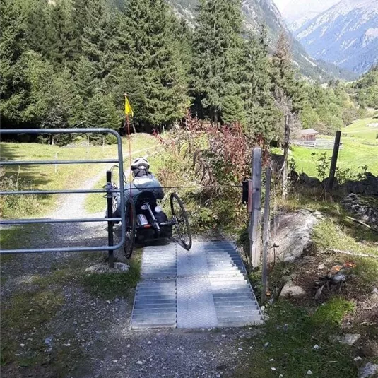
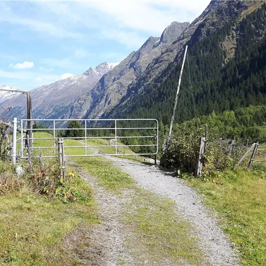
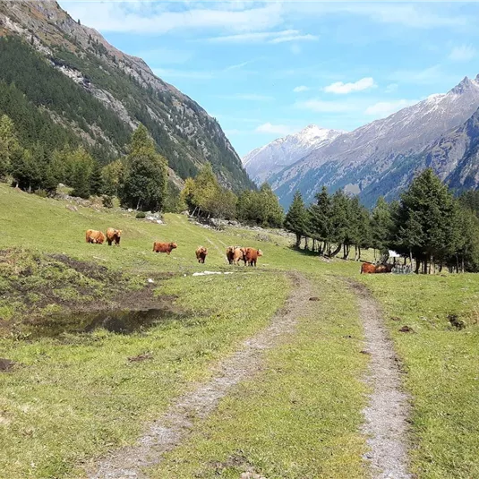
Valley hiking trail with swiss trac

Wheelchair-accessible hiking trail

15,60 km

14 m

431 m

1679 m

Description

Swiss Trac Tour:The valley hiking trail from Mandarfen to Wiese (ca. 22 km) can be navigated either by electric handbike or sections of it by Swiss-Trac. If you are using an electric handbike, we would advise to start in Mandarfen...

Features & Characteristics

Starting Point:

Mandarfen

End Point:

Wiese

Map & Elevation Profile

Contact

Ortsinformation Mandarfen

Mandarfen 62

6481 St. Leonhard im Pitztal

Arrival

Take the bus to the respective bus stop.

Refreshments & infrastructure

A quiet village square with a few houses and a street. In the background, tall mountains and green meadows can be seen.
St Leonhard Parking space Eggenstall

car park/parking garage/parking lot

St. Leonhard im Pitztal

A parking area next to a road, surrounded by trees. In the background, a green meadow is visible.
St Leonhard Parking space Enger

car park/parking garage/parking lot

St. Leonhard im Pitztal

A parking lot in nature, surrounded by trees and tall vegetation. In the foreground stands a blue SUV on an unpaved road.
St Leonhard Parking space Stillebach

car park/parking garage/parking lot

St. Leonhard im Pitztal

Similar Tours

Parkplatz Rolli
ZirbenPark Circular Route

Wheelchair-accessible hiking trail

1,50 km

00:50 h

60 m

2017 m

Um die Breite (1).jpg
Around the Breite with Swiss-Trac or electric bike

Wheelchair-accessible hiking trail

1,20 km

00:30 h

30 m

869 m

Wald1 (1).jpg
Wald 2

Wheelchair-accessible hiking trail

1,50 km

00:20 h

24 m

886 m