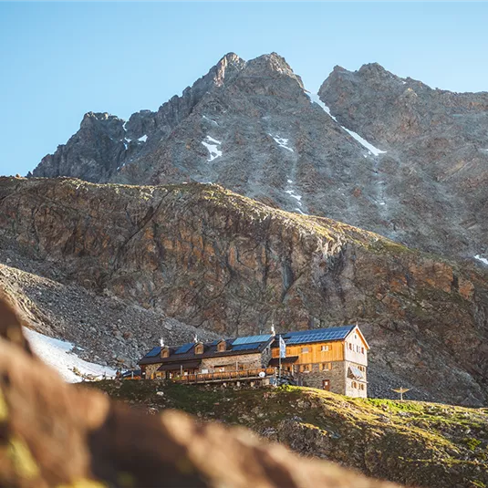
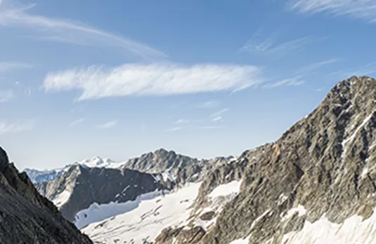
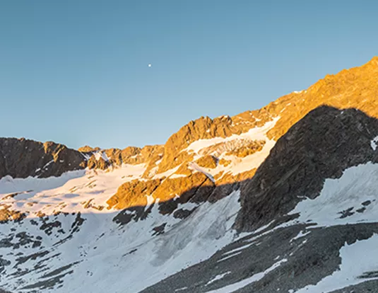
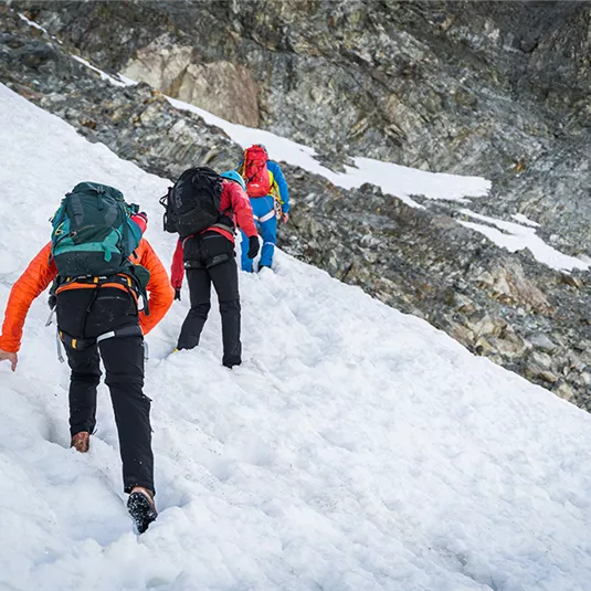
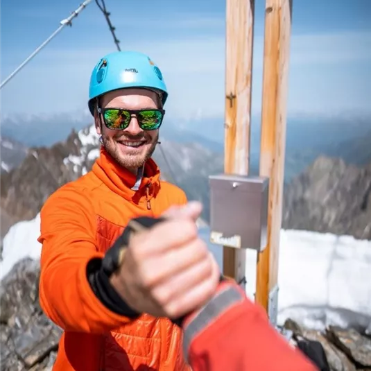
Wanderung zur Verpeilspitze über den Cottuser Höhenweg
Hiking tour
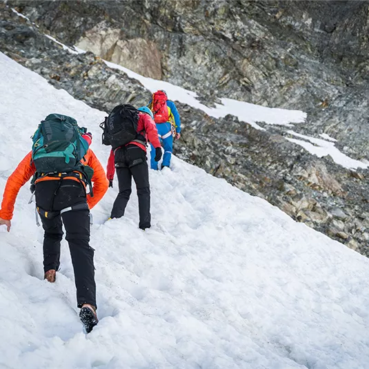
Summit hike
Hard
4,00 km
05:00 h
600 m
600 m
3425 m
Amenities
Seil (40m reichen!), Steigeisen, Pickel, Karabiner, Band- und Expressschlingen (je 2 - 3)
Features & Characteristics
Best Season
Jan
Feb
Mar
Apr
May
Jun
Jul
Aug
Sep
Oct
Nov
Dec
Starting Point:
Bergstation Rifflseebahn
End Point:
Plangeroß