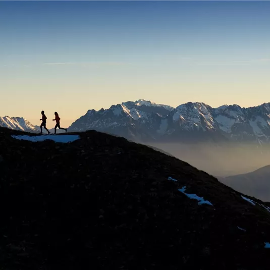
Wildgrat Trail
Trailrunning
Hard
18,20 km
04:00 h
1450 m
1450 m
2971 m
Description
Run from the intermediate station via a path past the alpine pasture Kalbenalm towards the summit Sechszeiger. Folow from the mountain ridge towards Hochzeiger and by the Niederjöchl turn left and run downhill to the junction towards the alpine pasture...
Features & Characteristics
Best Season
Jan
Feb
Mar
Apr
May
Jun
Jul
Aug
Sep
Oct
Nov
Dec
Starting Point:
Middel station
End Point:
Valley station
Map & Elevation Profile
Arrival
Follow the road signs to Jerzens Hochzeiger Bergbahnen.


