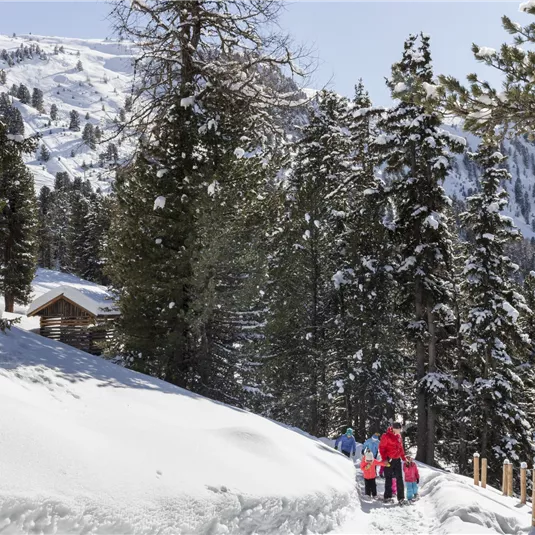
Zirben Trail
Winter walking
1,40 km
00:40 h
60 m
60 m
2067 m
Description
Thiscircular winter hiking trail starts and ends at theZeigerrestaurant at the intermediate station of the Hochzeiger gondola. The approx. 700 m long hike leads in the direction of Zollberg through a pine forest and returns to the intermediate station. The...
Features & Characteristics
Skill Level
Endurance
Best Season
Jan
Feb
Mar
Apr
May
Jun
Jul
Aug
Sep
Oct
Nov
Dec
Starting Point:
Zeigerrestaurant at middle station Hochzeiger mountain lift
End Point:
Zeigerrestaurant at middle station Hochzeiger mountain lift
Family hike

Map & Elevation Profile
Arrival
Follow the L16 Pitztal Landesstraße road and signs to Jerzens and then to Hochzeiger.


