Hike to Riegetal
Hikes to lakes
Hard
7,50 km
04:00 h
690 m
690 m
2544 m
Description
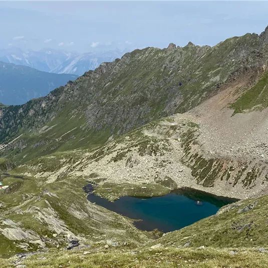
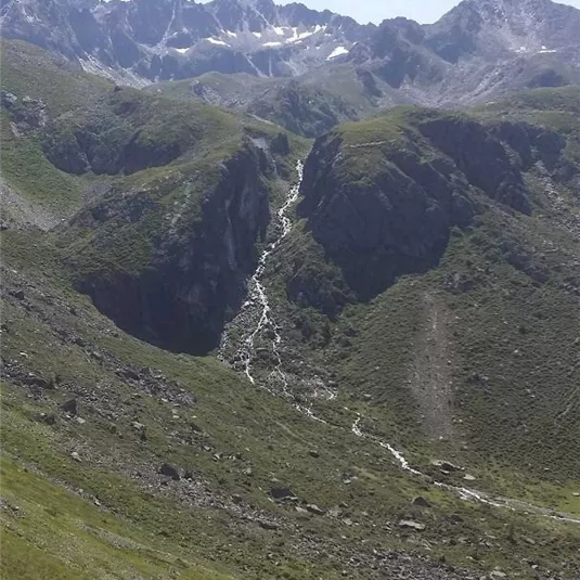
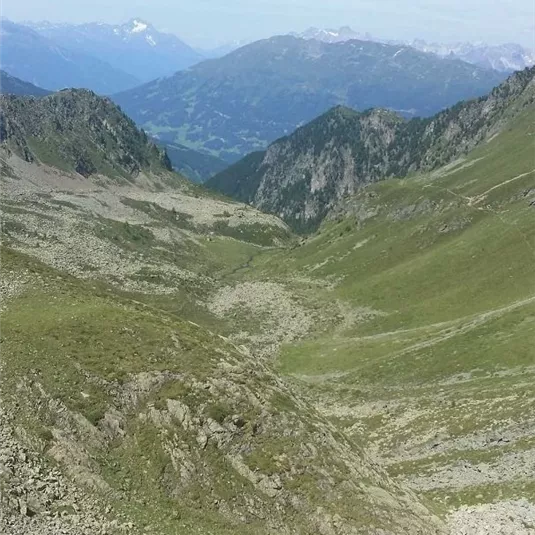
Starting point: gondola top station. From there, a wide and steep path leads to the Zollberg peak. On top of the Zollberg you will be able to enjoy beautiful glimpses of the Riegetal valley. A narrow steep path (partially secured with fixed...
Features & Characteristics
Best Season
Jan
Feb
Mar
Apr
May
Jun
Jul
Aug
Sep
Oct
Nov
Dec
Starting Point:
gondola top station
End Point:
gondola top station
Circular tour
Map & Elevation Profile
Arrival
Coming from Imst, follow the L16 Pitztaler Landesstraße to the Jerzens/Hochzeiger junction. Once you arrive at the Hochzeiger valley station, take the gondola (section I) to get to the starting point.


