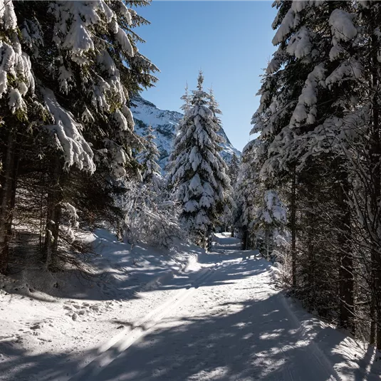
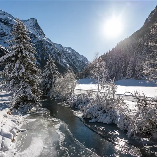
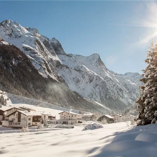
The hike along the valley's cross-country sking trail
Winter walking
Closed
21,00 km
665 m
505 m
1673 m
Description
From Mittelberg to Wiese is 21 km long. You can enter and exit the winter hiking trail at each hamlet.
Features & Characteristics
Skill Level
Endurance
Best Season
Jan
Feb
Mar
Apr
May
Jun
Jul
Aug
Sep
Oct
Nov
Dec
Starting Point:
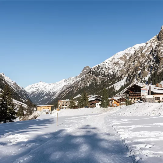
all places in St. Leonhard
End Point:
all places in St. Leonhard
Family hike


Map & Elevation Profile
Arrival
Follow the L16 Pitztalstraße to Mittelberg in the municipality of St. Leonhard.


