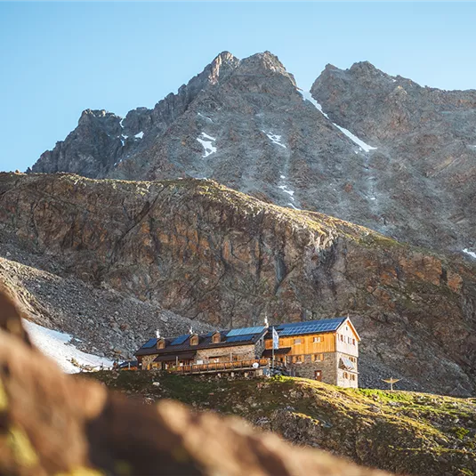
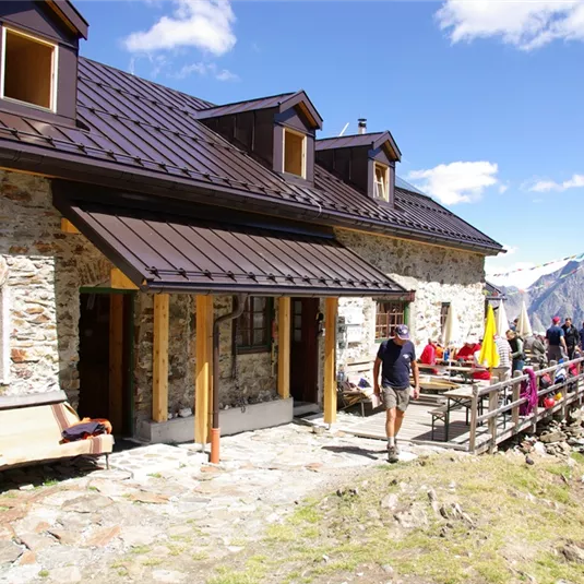
Trail to the Kaunergrathütte (2,817 m)
Hiking tour
Hut hike
Medium
12,50 km
07:00 h
1220 m
1220 m
2817 m
Description
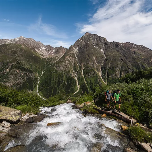
Starting point: car park just before Plangeroß. Walk by a path, which starts off wide before narrowing and becoming increasingly steep – through the forest to the Plangeroßalpe. Once there, cross over the river at two points, continuing next to ascend...
Features & Characteristics
Best Season
Jan
Feb
Mar
Apr
May
Jun
Jul
Aug
Sep
Oct
Nov
Dec
Starting Point:
car park between Plangeroß and Tieflehn
End Point:
car park between Plangeroß and Tieflehn


Map & Elevation Profile
Arrival
Coming from Imst, follow the L16 Pitztaler Landesstraße until shortly before Plangeroß. Between the hamlets of Weißwald and Plangeroß there is a parking lot for the Rüsselsheimer and Kaunergrat Hütte on the right-hand side.


