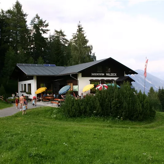
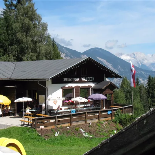
Wenns – Oberleins – Jausenstation Waldeck – Wenns

Valley walking and hiking trails

Medium

16,70 km

04:00 h

700 m

700 m

1325 m

Description

Take a right behind the school and walk towards the Pitze river. After the wooden bridge turn right at the chape l and after approx. 200 m turn left towards Unterleins. Pass the church and the bus stop and continue to...

Features & Characteristics

Best Season

Jan

Feb

Mar

Apr

May

Jun

Jul

Aug

Sep

Oct

Nov

Dec

Starting Point:

Car park Kirche/Mehrzwecksaal

End Point:

Car park Kirche/Mehrzwecksaal
Map & Elevation Profile

Arrival

Take the bus till the bus stop Wenns Pitztaler Hof - about 300 m from the starting point. For the arrival by car use the car park Kirche/Mehrzwecksaal

Similar Tours

Logo

Easy

Circular route: Bichl chapel - XP Abenteuerpark

Easy

Valley walking and hiking trails

3,40 km

01:30 h

270 m

1333 m

Pfitschebach.jpg

Easy

Pfitschebach waterfall circular route

Easy

Hikes to waterfalls

Valley walking and hiking trails

2,20 km

01:30 h

170 m

1479 m

Pitzenhöfe-Leins (8).JPG

Easy

Pitzenhöfe – Leins – retour

Easy

Valley walking and hiking trails

7,40 km

02:00 h

300 m

1120 m