Winter hike intermediate station - Hochzeiger Haus/Stadlerhütte - Kaitanger
Winter walking
Closed
5,30 km
01:30 h
600 m
2000 m
Important Information
Spikes recommended – hire available from information offices
Description
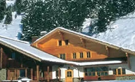
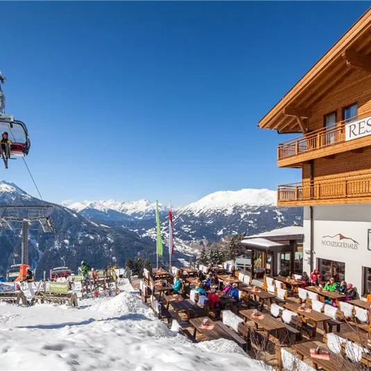
Starting point for the 5.3 km winter hiking route is the Zeigerrestaurant at the intermediate station on 2,000 m. You can reach the Hochzeiger Haus/Stalderhütte at 1,840 m within 30 minutes. Continuethe road downhill for ca. 4 km to the...
Features & Characteristics
Skill Level
Endurance
Best Season
Jan
Feb
Mar
Apr
May
Jun
Jul
Aug
Sep
Oct
Nov
Dec
Starting Point:
Zeigerrestaurant
End Point:
Kaitanger
Family hike


Map & Elevation Profile
Arrival
Follow the L16 (Pitztalstraße) and the signs to Jerzens and the Hochzeiger mountain railways.


