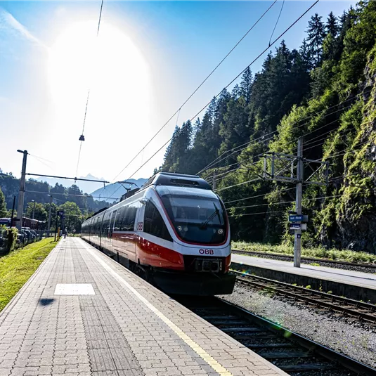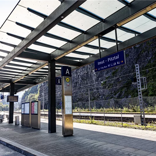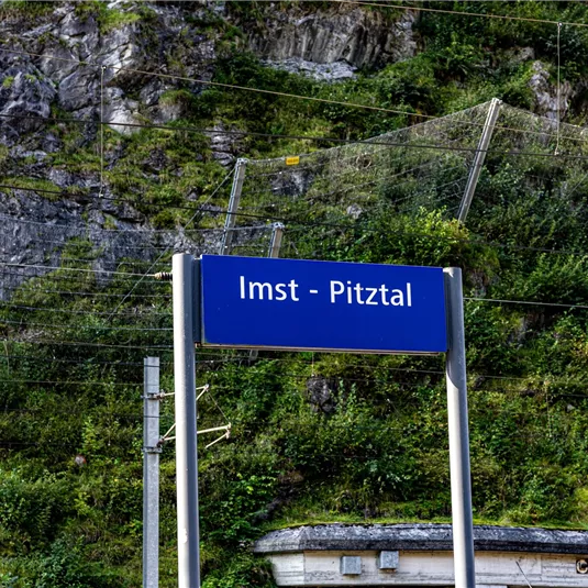
Arzl - Imst/Pitztal train station

Valley walking and hiking trails

Easy

2,00 km

00:40 h

20 m

160 m

864 m

Description

Walk along the main road from the starting point in the direction of Imst to the “Pitztal Grill” diner. At the end of the car park a path leads in the direction of the industrial estate and after crossing the...

Features & Characteristics

Best Season

Jan

Feb

Mar

Apr

May

Jun

Jul

Aug

Sep

Oct

Nov

Dec

Starting Point:

Tourist information office Arzl

End Point:

Train station Imst - Pitztal
Map & Elevation Profile

Arrival

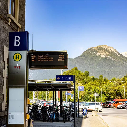
Take the bus till the bus stop Arzl Gemeindeamt. For the arrival with the car you can use the car park Steige - about 5 min. from the starting point.

Refreshments & infrastructure

Similar Tours

Rundwanderung_Pitztenhoefe (12).JPG

Easy

Pitzenhöfe circular route

Easy

Valley walking and hiking trails

4,10 km

01:10 h

140 m

1000 m

Parkplatz Fuchsmoos
Fischteich Piller circular route

Hut hike

Valley walking and hiking trails

Wheelchair-accessible hiking trail

2,20 km

00:40 h

60 m

1412 m

Benni-Raich-Brücke_0518_001.jpg

Medium

Circular route Benni Raich bridge with Inn gorge

Medium

Hikes through gorges and ravines

Valley walking and hiking trails

4,90 km

02:00 h

250 m

876 m