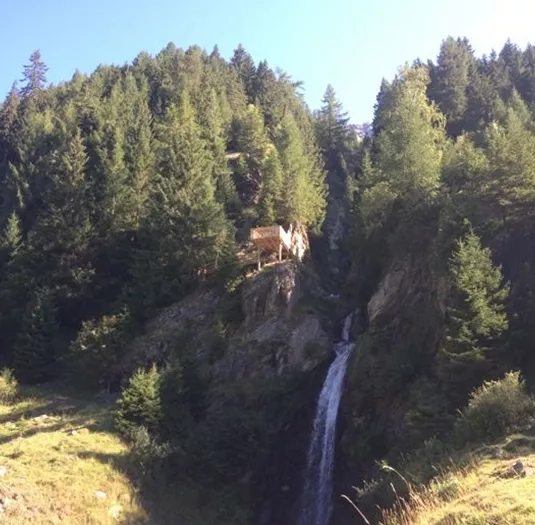


Bichler waterfall circular route
Hikes to waterfalls
Valley walking and hiking trails
Easy
Closed
3,80 km
01:10 h
100 m
100 m
1428 m
Description
The loop hike begins at the Enger bus stop and initially follows a somewhat steep paved road for about 250 meters toward the waterfall. The route then winds along a forest trail in several switchbacks to a point just below...
Features & Characteristics
Skill Level
Endurance
Best Season
Jan
Feb
Mar
Apr
May
Jun
Jul
Aug
Sep
Oct
Nov
Dec
Starting Point:
bus stop St. Leonhard Enger
End Point:
bus stop St. Leonhard Enger
Circular tour