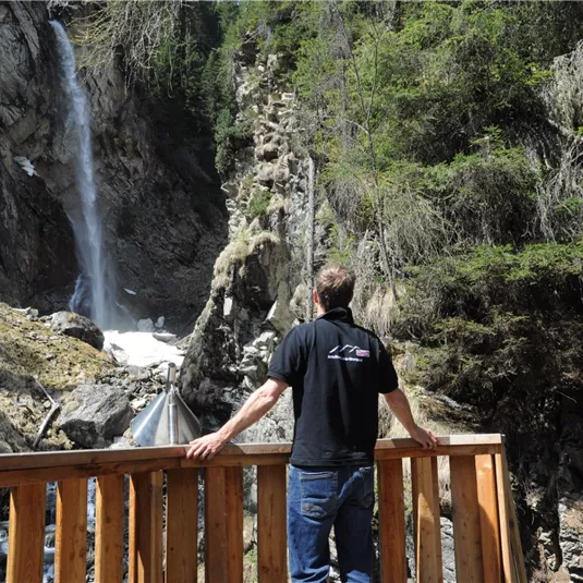
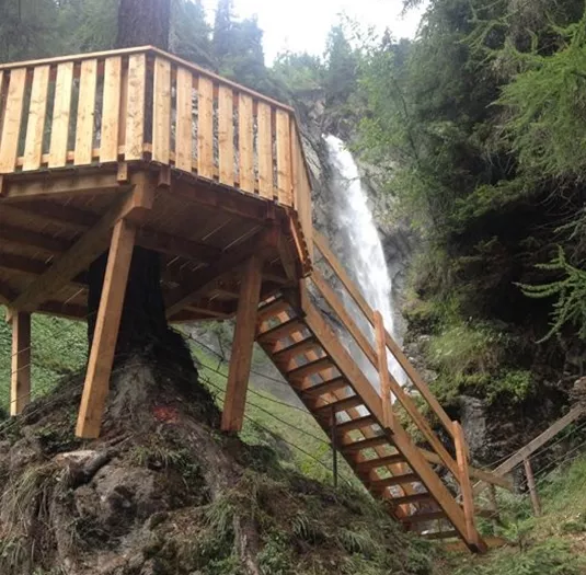
Pfitschebach waterfall circular route

Viewing platforms

Hikes to waterfalls

Valley walking and hiking trails

Easy

2,20 km

01:30 h

170 m

170 m

1479 m

Description

The loop hike begins at the bus stop near the Sonne Liesele inn and follows the signs for “Wasserfall” toward the Tiefentalalm. After a short stretch on a farm road, a hiking trail branches off to the left toward the...

Features & Characteristics

Skill Level

Endurance

Best Season

Jan

Feb

Mar

Apr

May

Jun

Jul

Aug

Sep

Oct

Nov

Dec

Starting Point:

bus stop St. Leonhard/Ghf. Liesele

End Point:

bus stop St. Leonhard/Ghf. Liesele

Circular tour
Map & Elevation Profile

Refreshments & infrastructure

Eggenstall
St Leonhard Parking space Eggenstall

Parking spot

St. Leonhard im Pitztal

Similar Tours

Um die Breite1.jpg

Easy

Around the breite

Easy

Valley walking and hiking trails

1,20 km

00:20 h

30 m

869 m

happytrack_frühling

Easy

Circular route Steinhof

Easy

Valley walking and hiking trails

5,70 km

01:30 h

140 m

1110 m

Sommerbilder, St. Leonhard - Summer pictures, St Leonhard_TVB Pitztal_Chris Walch (Breonix Foto+Design)_Sankt Leonhard im Pitztal.jpg

Easy

Mandarfner Runde groß

Easy

Valley walking and hiking trails

5,80 km

01:30 h

160 m

1796 m