to shopping cart
to cart for brochures

Mountain bike routes

Mountain bike routes in Pitztal, Tyrol

11 signposted mountain bike trails with a total length of 95 kilometres are waiting for you

Pitztal features a total of 95 kilometres of signposted mountain bike trails of all levels of difficulty. There are technically less demanding routes but also numerous routes with steps, root and gravel sections. How about the “Jerzener Tanzalm” trail that starts at the Jerzens village and continues in 9.5 kilometres via Stalderhütte, Hochzeiger Haus and Tanzalm to the intermediate station at Hochzeiger mountain railways? The descent on a moderately steep gravelled trail with its numerous sharp turns truly is an adventure – and you can enjoy it without any hard effort by simply taking the gondola for the ascent.

A cycling highlight on a classic alpine mountain trail to the picture-perfect idyllic setting of “Tiefentalalm”.

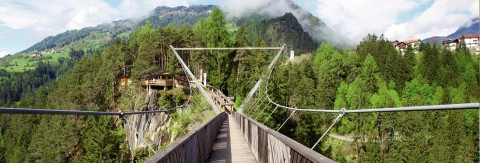
Those who choose to ride on the circular route from Wenns via Leins, Wald to Arzl in the lower valley will cross the 94 metre high Benni Raich bridge and can stop to watch bungee jumpers.

Sitebuilder 

Guided mountain bike tours in Pitztal, Tyrol

Discover Pitztal on a mountain bike with one of our outdoor specialists:

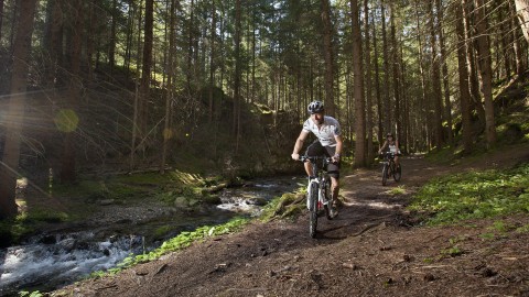
95 km of marked trails are waiting for mountain bikers in Pitztal
The sun terrace of the Ludwigsburgerhüttte welcomes thirsty mountain bikers after 770 meters of altitude
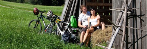
Well-earned break! The slopes along the Pitztaler Bike Route are a bit challenging.
Benni Raich Brücke in Arzl im Pitztal in Tirol

Categories

Difficulty

Distance

Distance ranges from 6km to 7km

Duration

Duration ranges from 1h to 1h

Altitude

Altitude ranges from 365m to 365m

Bike und Hike Taschachhaus 6025

Ausgangspunkt
Mandarfen Parkplatz (1675m)
Endpunkt
Materialseilbahn Taschachhaus (2043m)
From the public car park north of the Rifflsee cable car, you drive directly below the Rifflsee valley station over a bridge to the building yard of the Pitztal tourism association. You reach the Taschachalm on a very pleasant ascent. From there, you drive descend slightly in a south-westerly direction than you reach a rough gravel path. You pass the very steep ascent to the Rifflsee, which is not permitted for mountain bikers according to the landowner. It is also strongly discouraged, as the nature and steepness of the path is not suitable for MTBs or e-bikes. Following the signposted gravel path, you reach the Taschachhaus material cable car after approx. 6 km. From there, a wonderful hiking world opens up, which takes you not only to the Taschachhaus but also to the foot of the Taschachferner - walking time approx. 1 hour.
Information

Webcams

Information

Weather

Information

7 open lifts

Öffungszeiten

Now open

Angebot suchen

Search for offers